- Get link
- X
- Other Apps
- Get link
- X
- Other Apps
Introduction
In the realm of modern agriculture, where precision and efficiency are paramount, the integration of satellite data has emerged as a transformative force. Satellite technology, once reserved for space exploration and telecommunications, has found a new frontier in agriculture, offering farmers unprecedented insights into their fields and crops. This marriage of space-age technology with traditional farming practices has ushered in a new era of precision agriculture, where data-driven decision-making is driving productivity, sustainability, and resilience. In this introduction, we delve into the role of satellite data in agriculture, exploring how it is revolutionizing farming practices and shaping the future of food production.
By leveraging satellite imagery and remote sensing technology, farmers can obtain real-time insights into the health and vitality of their crops. From detecting early signs of stress caused by factors such as water scarcity or nutrient deficiencies to identifying the presence of pests and diseases, satellite data enables proactive management strategies. This proactive approach not only allows farmers to mitigate potential threats before they escalate but also helps optimize resource allocation, leading to healthier crops and higher yields. With crop health monitoring powered by satellite data, farmers can make informed decisions to ensure the well-being and productivity of their fields.
What We Offer
Crop health monitoring during various growth stages and irrigation management are crucial aspects of modern agriculture. Utilizing remote sensing technology, several indices and metrics aid farmers in making informed decisions to optimize crop health and productivity without relying solely on visual observation. Here’s a breakdown of key indicators and their applications:
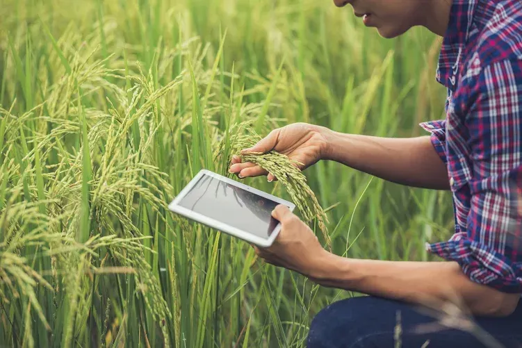
- https://blogger.googleusercontent.com/img/b/R29vZ2xl/AVvXsEiMpsG-aFqHXjSTacbtcKGo7A1ziTNMrdF3pNZZezL9bPlILNEL6W9FJbUj4eMXclek91P5jRFcY503zlVqsP8cM2pmUnsgLJg2h4ZA8ASPOJbj86QyGsE0mOuPxwVHAXx-aqX_giTsglf7tGHpHNZyB-P2qSLNDQIJtbYyqxyiNnLo_XmzOqBjlUU3xPw/s1600/farmer-standing-rice-field-with-tablet.webp
-
For Early Growth Stage
Adult fall armyworm moths are about 1.3 to 1.6 inches wide and usually gray or brown. Their wings have dark and light patterns. The baby ones, called larvae or caterpillars, can look different, from light green to brown or black.
EVI (Enhanced Vegetation Index): Enhances vegetation signals, particularly in high biomass areas, for improved monitoring and reduced atmospheric interference.
-
For the Later Growth Stage
NDRE (Normalized Difference Red Edge): Captures data in later growth stages when chlorophyll content is higher, providing insights into crop health.
-
For Irrigation management
NDWI (Normalized Difference Water Index): Controls irrigation by detecting water stress, crucial for areas with water scarcity.
NDMI (Normalized Difference Moisture Index): Monitors vegetation moisture and drought conditions, guiding irrigation practices based on crop growth stages.
-
For Advance Analysis
VARI (Visible Atmospherically Resistant Index): Resistant to atmospheric effects, providing accurate vegetation estimates for decision-making.
-
For Topography and Soil Health
DEM (Digital Elevation Model): Identifies waterlogging-prone areas, aiding in water management and motor installation.
SOC (Soil Organic Carbon): Indicates soil health post-cultivation, with Precision Grow offering color-mapped SOC images for targeted interventions based on organic matter percentage.
-
For Cloudy Weather Crop Health
RVI (Radar Vegetation Index): Measures backscattering to provide time series data, especially valuable during extreme weather conditions when satellite data is unavailable.
TCI (True Color Image): Raw satellite images in human-perceivable colors.
ETCI (Enhanced True Color Image): Processed TCI images enhancing land features for better visibility.
Additionally, Precision Grow provides RGB images, including:
Benefits
Leveraging satellite data provided by Precision Grow in easily understandable formats, farmers can achieve several benefits:
- Precision Chemical/Fertilizer Application: By targeting specific locations where crop health is compromised, farmers can minimize chemical and fertilizer usage, optimizing resource allocation.
- Efficient Labor Allocation: Directing labor efforts to areas with lower crop health reduces labor costs and maximizes productivity by focusing resources where they are most needed.
- Smart Water Management: Satellite data enables farmers to identify water-stressed areas, allowing for precise irrigation scheduling and reducing water wastage.
- Enhanced Yield: With timely insights into crop health and environmental conditions, farmers can implement proactive measures to boost overall yield and crop quality.
- Soil Nutrient Management: Understanding soil carbon content aids in maintaining nutrient composition and optimizing soil health for sustained productivity.
Precision Grow utilizes various analytical concepts such as NDVI, NDRE, EVI, VARI, SOC, NDWI, etc., tailored to specific use cases, empowering farmers with high-level analysis for informed decision-making.
- Get link
- X
- Other Apps

Comments
Post a Comment